


In this article, we aim to give you as much information as possible, to help you prepare for an attempt at or simply just to learn about, the WURL (Wasatch Ultimate Ridge Linkup).
The Wasatch Ultimate Ridge Linkup, abbreviated as “WURL,” presents an extraordinary ridge route encircling Little Cottonwood Canyon in Utah’s Wasatch Mountains. This challenging route primarily involves difficult scrambling, boulder hopping, and navigating a few rugged trails, spanning approximately 36 miles with an elevation gain of around 18,000 feet.
This route continues to grow in popularity, but it is extremely difficult and dangerous. In this article, we try to provide as much information as we can, but DO NOT take this route lightly.
Jared Campbell is the individual who dreamed up with the route, first completed it, and is an all around incredible incredible athlete and environmentalist. He has completed the Barkley Marathons, three times, a feat no one has repeated yet, a 10-time Hardrock 100 finisher, an engineer, a family man, conservationist, and a whole lot more.
He has a website, with information on the WURL here.
Distance: ~36 miles (58 km)
Vertical Gain & Loss: ~18,000 feet (5486 meters) – Most people’s watches or GPS devices appear to get between 20,000 and 21,000 feet of vertical gain and loss. My watch recorded just over 20,000 feet of gain.
Fastest Known Times: Read Page
Summits: Below, we list out the “named summits” along the WURL, in order, for informational purposes. Note that some of these peaks may go by different names as well.
Twin Peaks, O’Sullivan Peak, Dromedary Peak, Monte Cristo, Mount Superior, Flagstaff Mountain, Davenport HIll, Honeycomb North, Honeycomb South, Patsy Marley, Mount Wolverine, Mount Tuscarora, Point Supreme, Peak 10,864, Devil’s Castle, Sugarloaf, Mount Baldy, Hidden PEak, American Fork Twin Peak East, American Fork Twin Peak West, Red Stack, Red Baldy, White Baldy, The Pfeifferhorn, Upwop Peak, South Thunder, Bighorn, Lone Peak
We have compiled some of the best GPX files of the entire route. These you can download, and are essential to have on your phone, GPS device, and watch.
This is a Caltopo map and GPX file created by Jared Campbell himself.
This is the GPX file on the FKT website.
OnX Backcountry GPX file with routes for supporting team members to join as well.
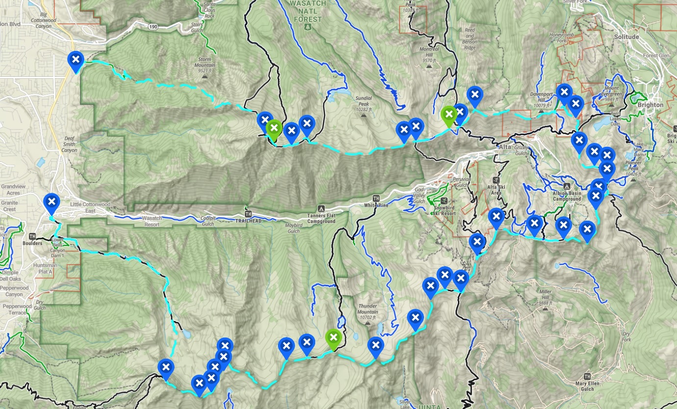
On the below map, Blue pins represent notable points and summits. Green represents where our group cached food and water. The teal lines represent the WURL route.
The sections listed below are sections that are noteworthy because of route finding or difficulty. We highly recommend that you, or at least one member of your group scouts / completes these locations before attempting the WURL.
Before attempting the WURL, we would say at a minimum that you or a member of your group needs to have completed the following sections:
Twin Peaks To Dromedary
Dromedary to Superior
Devils Castle
Big Horn Peak To Lone Peak and Notch descent
These sections require lots of route finding and exposed climbing / scrambling where extreme care is needed. Having a past experience on these sections will greatly help with route finding. These sections are time consuming, slow moving, and have high consequences.
Below we have created a photograph gallery in order of the WURL for you to see sections, the views, and the route in some places.
-

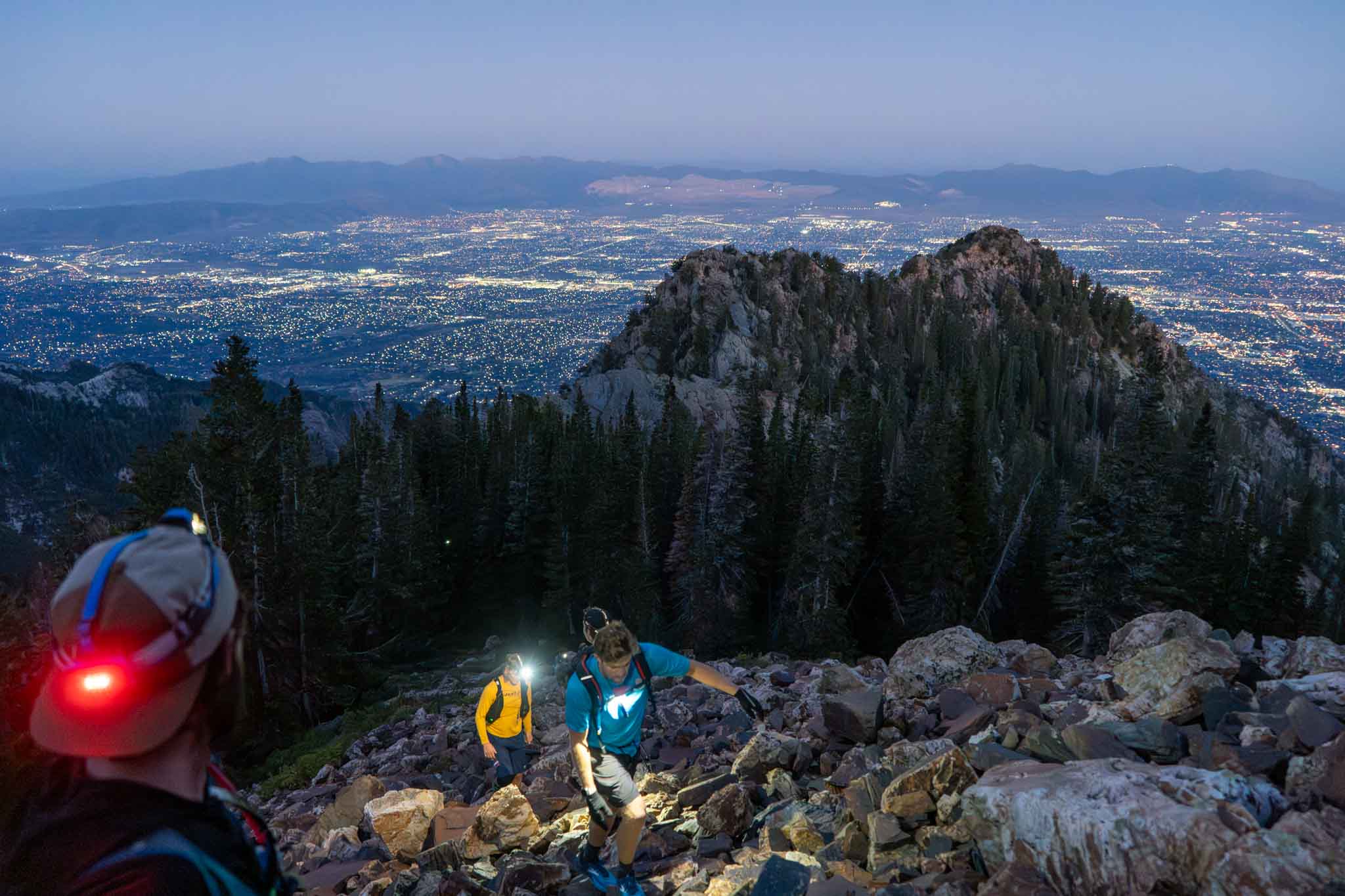
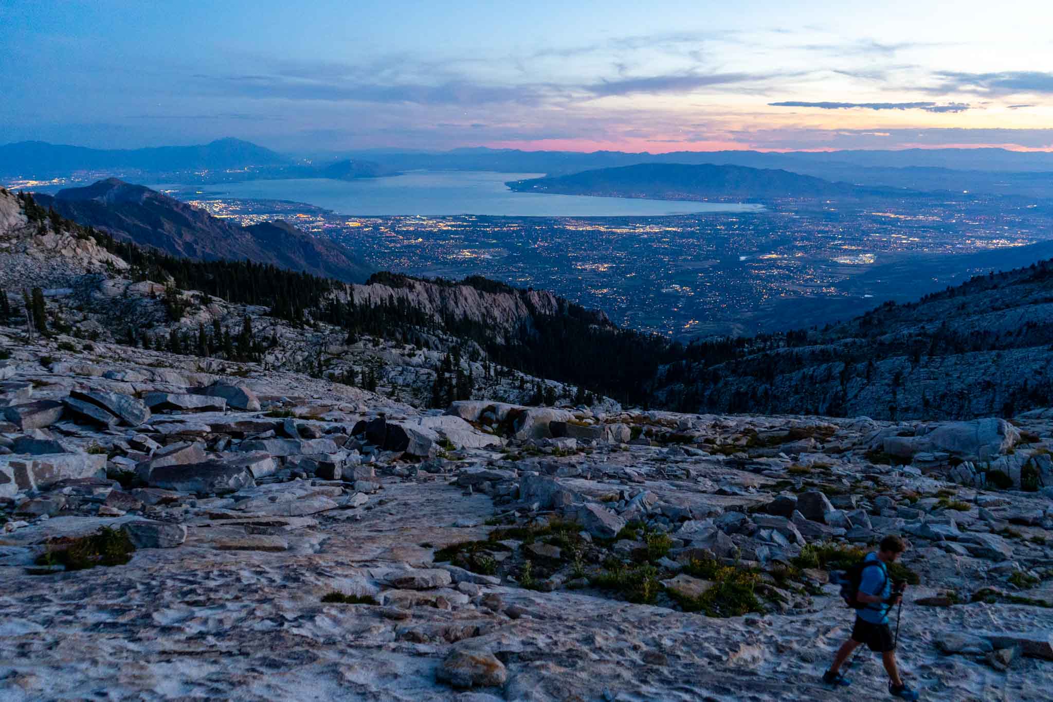
- Ascending Ferguson Canyon looking back at the city below.
-

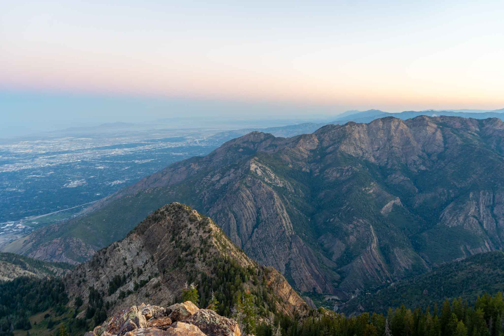
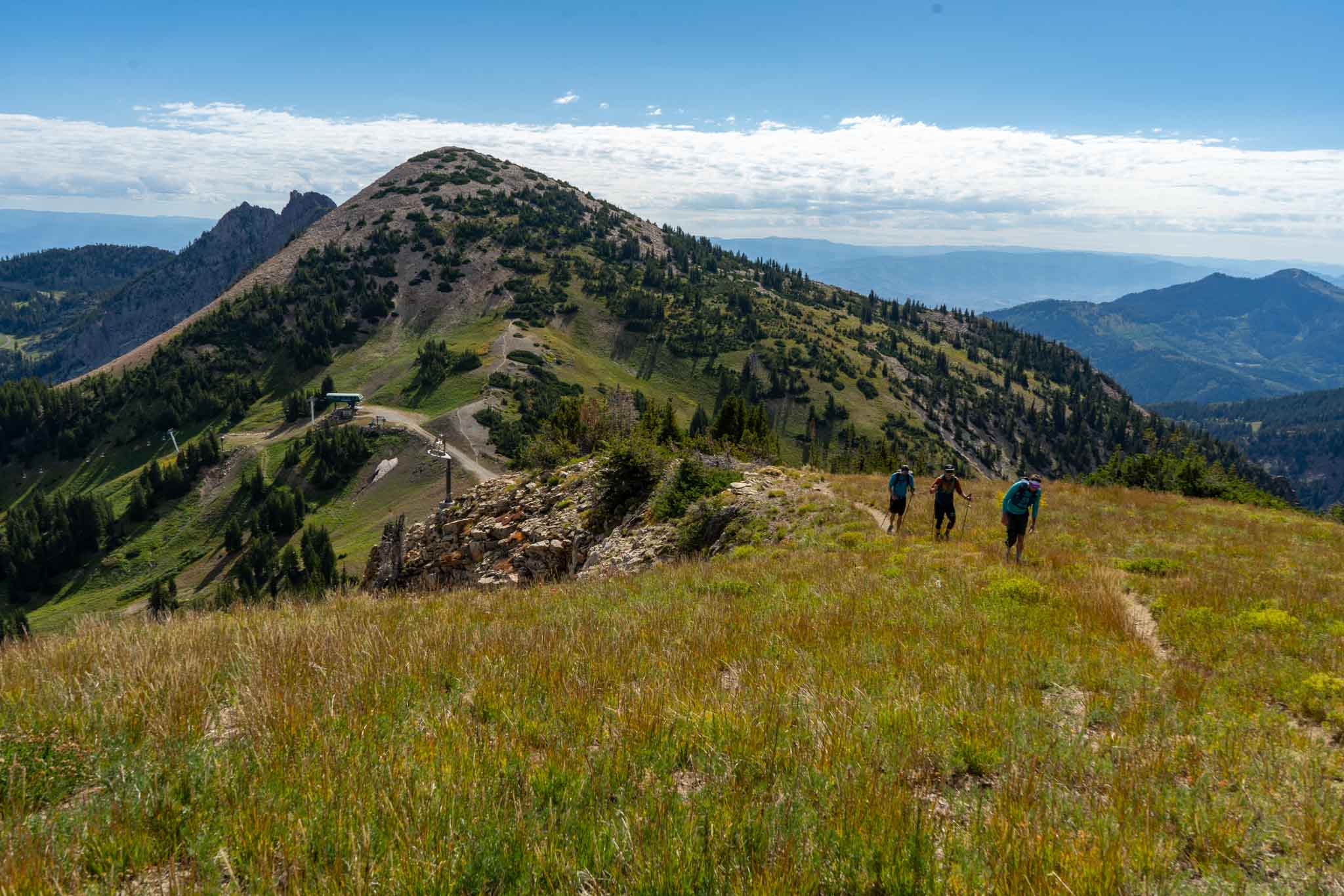
- Views into Big Cottonwood and Salt Lake from early on on the ridge heading towards Twin Peaks
-

- Early on the ridge of the WURL
-

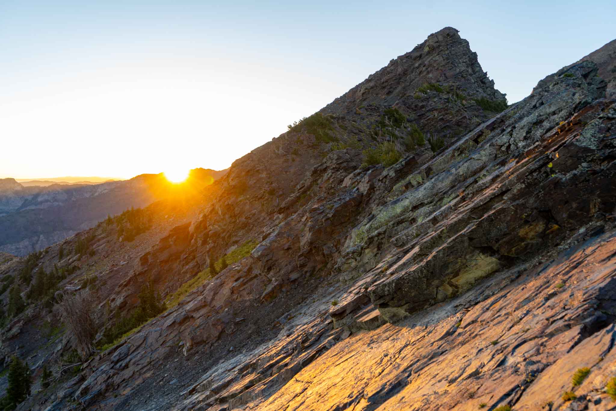
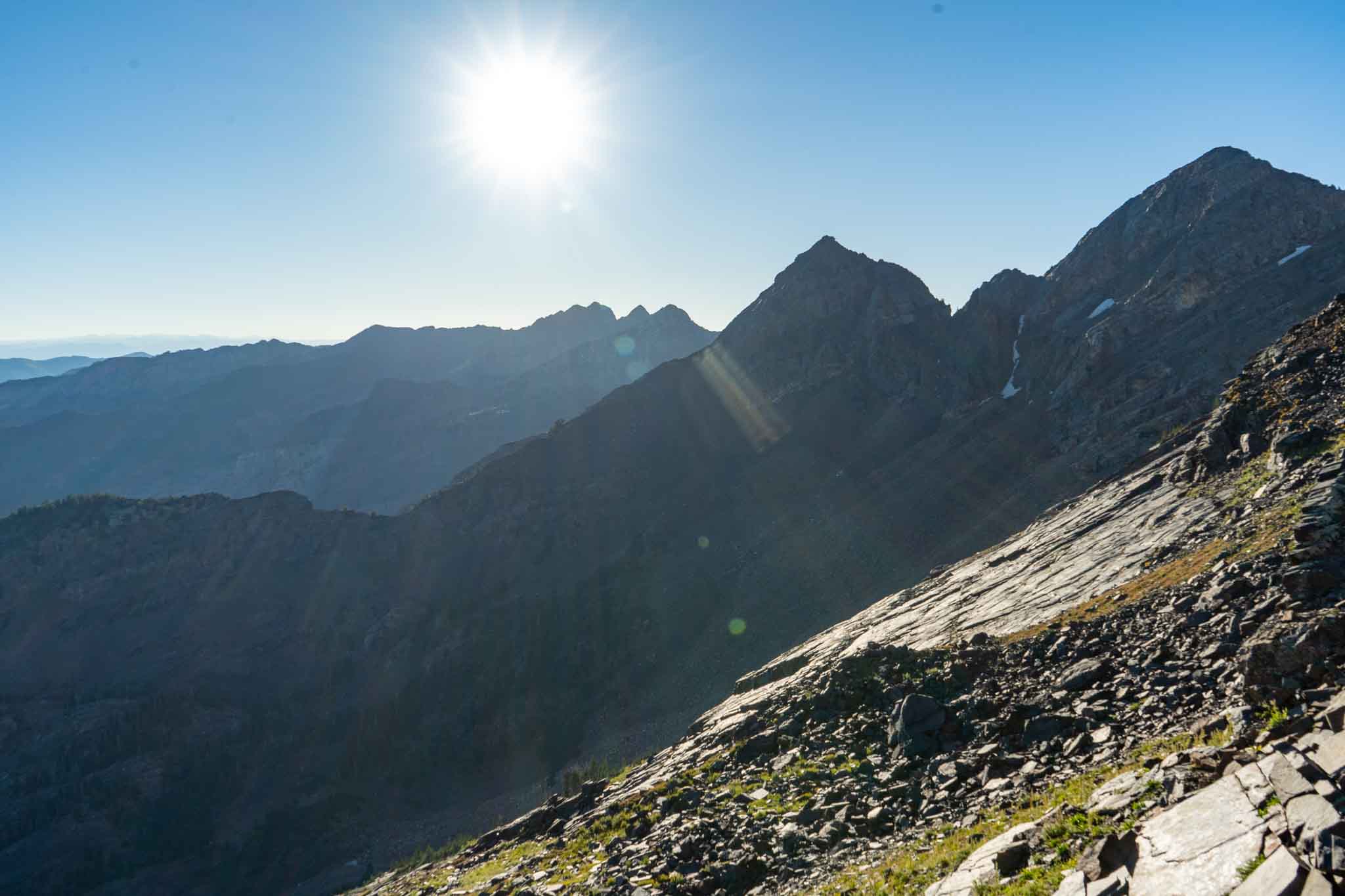
- Sunrise heading towards Twin Peaks (not in sight yet)
-

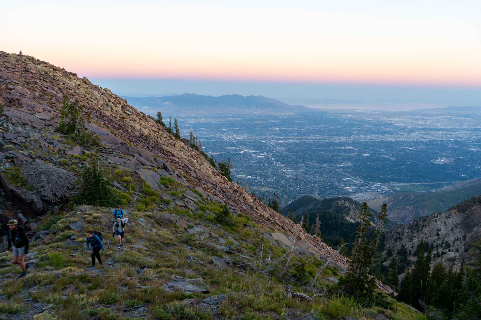
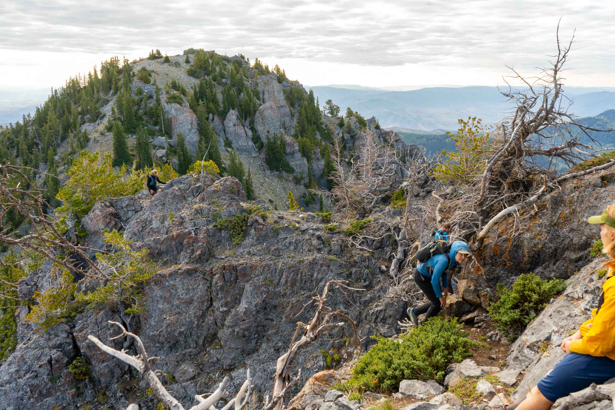
- Early hiking along the ridge
-

- Twin Peaks and Sunrise Peak
-

- Summit of Twin Peaks
-

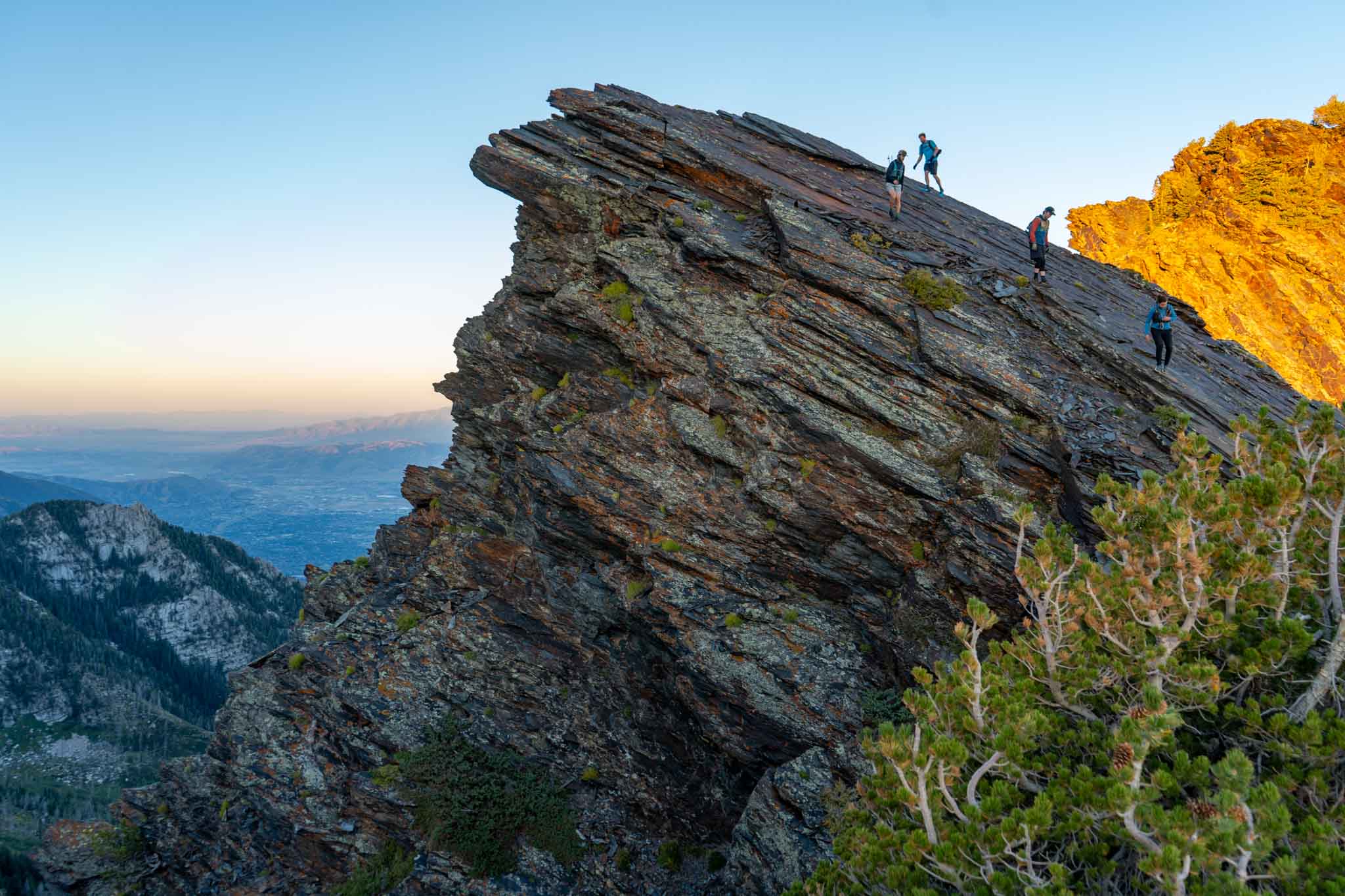
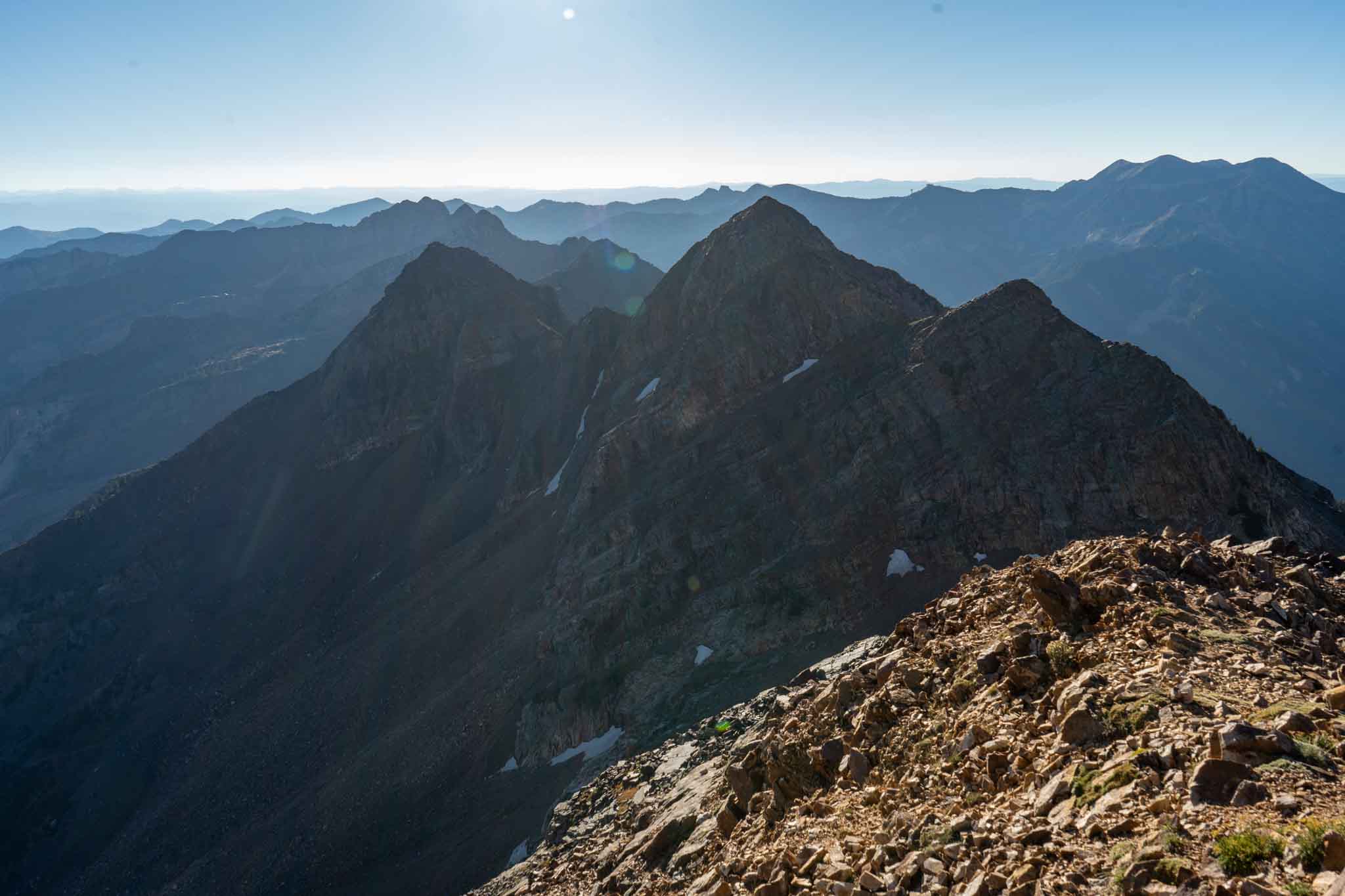
- Panorama from the ridge before Twin Peaks

-

- The descent off of Twin Peaks
-

- Looking back at Twin Peaks
-

- Views from Sunrise Peak
-

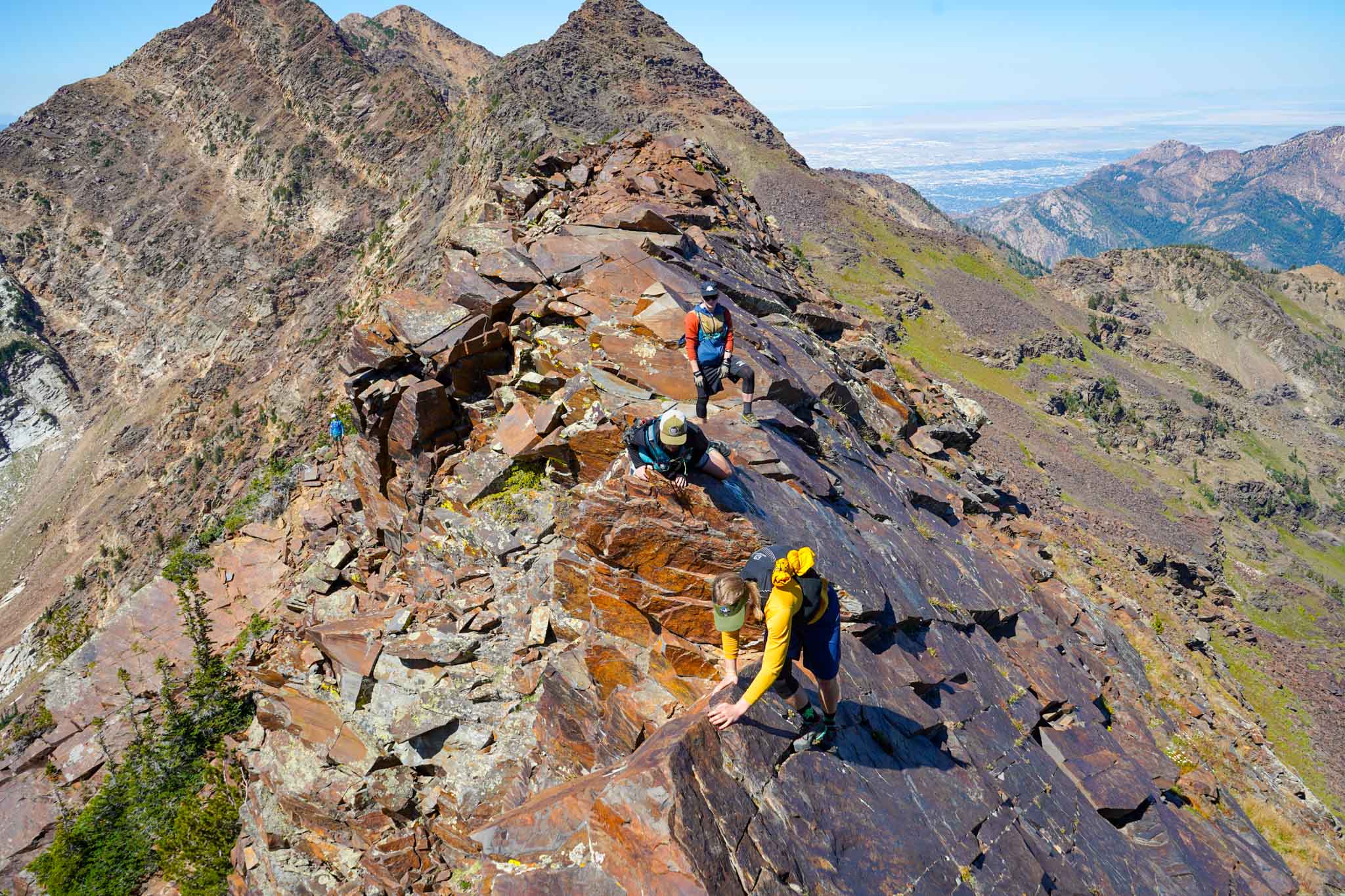
- Between Sunrise and Dromedary lies potentially the most exposed section of the WURL, but as you can see, you can hike below this section and around.
-

- Looking back at Dromedary Peak
-

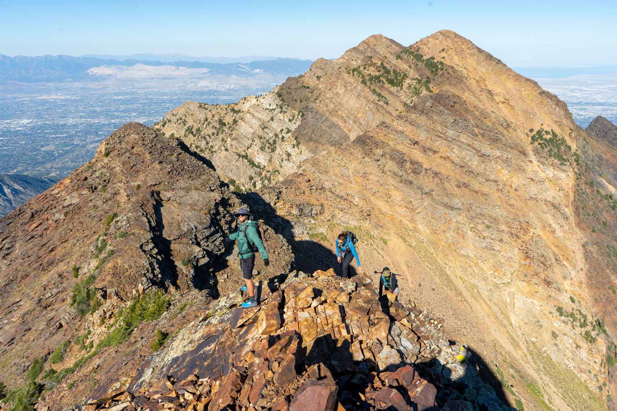
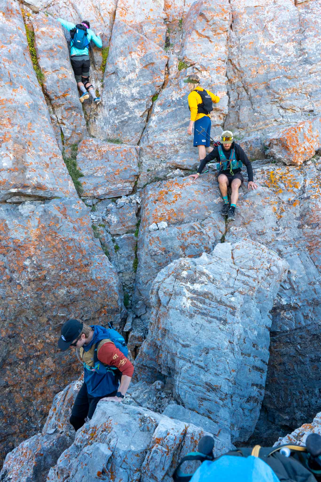
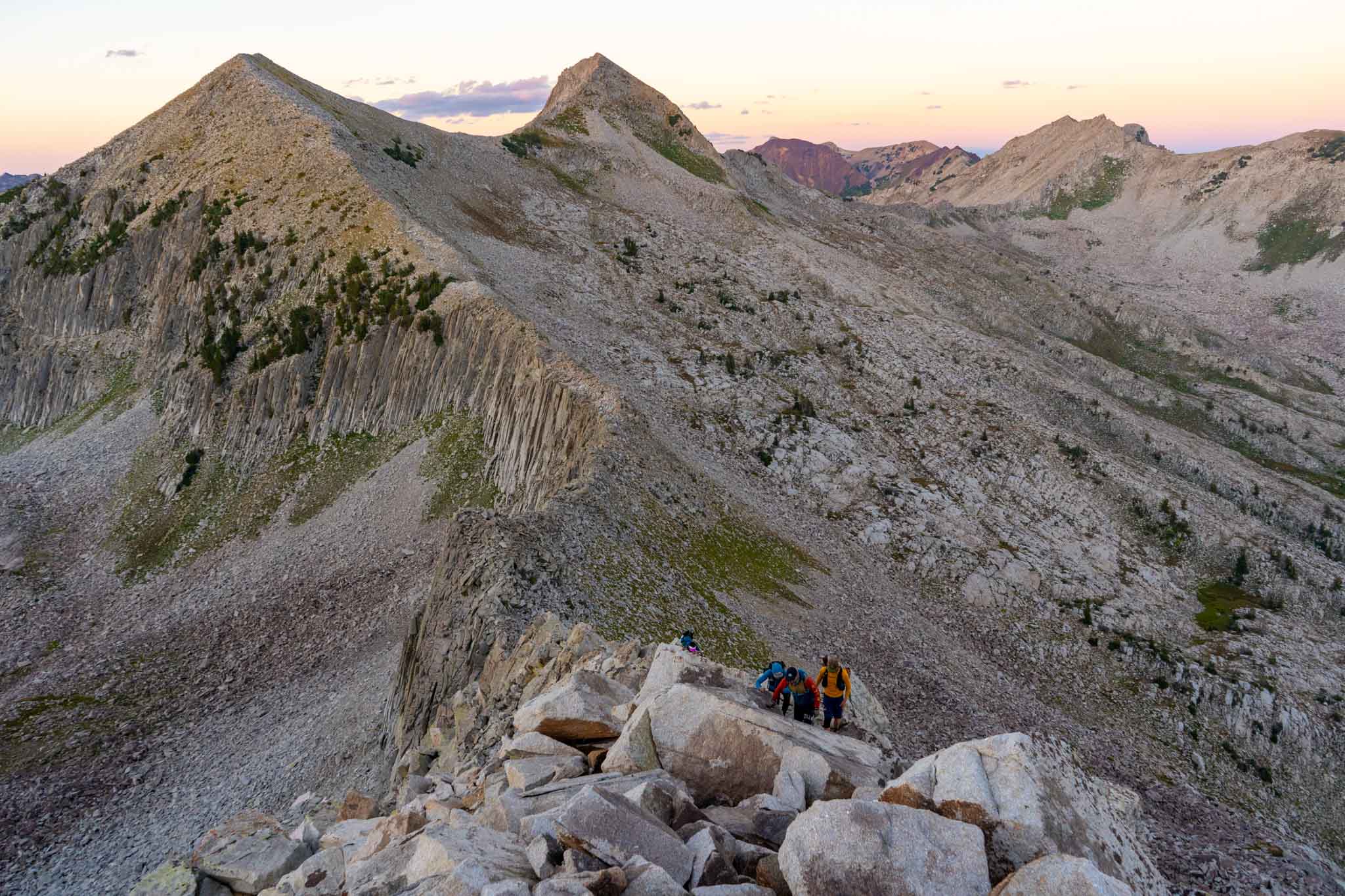
- Scrambling along the ridge
-

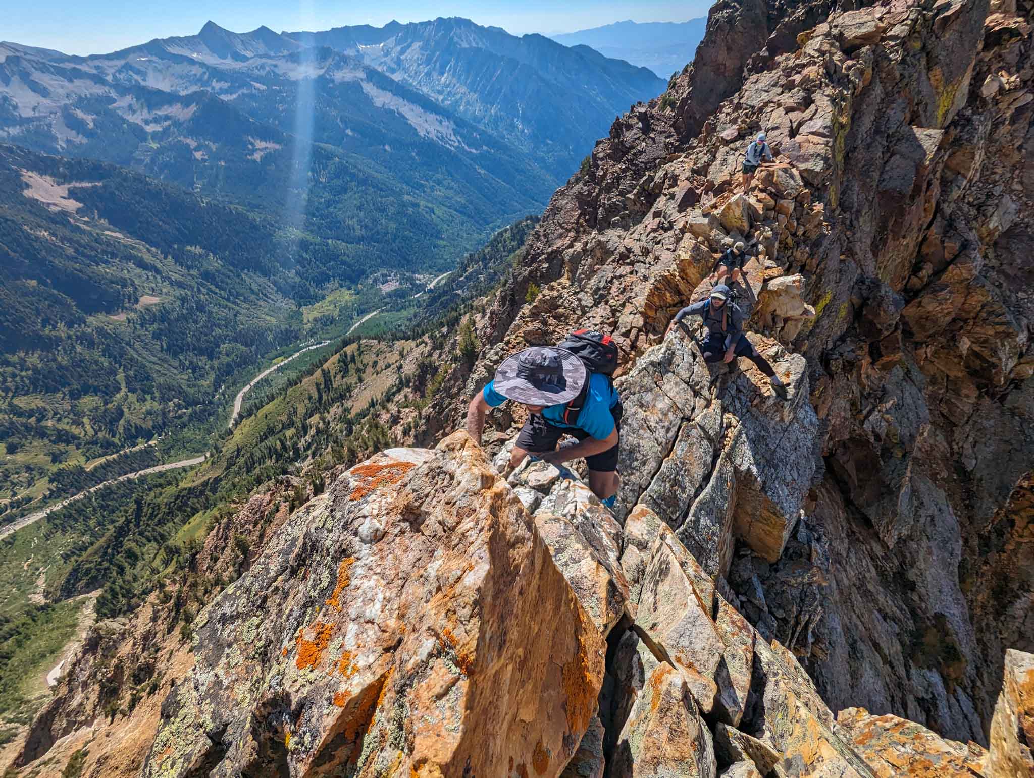
- Scrambling between Dromedary and Monte Cristo
-

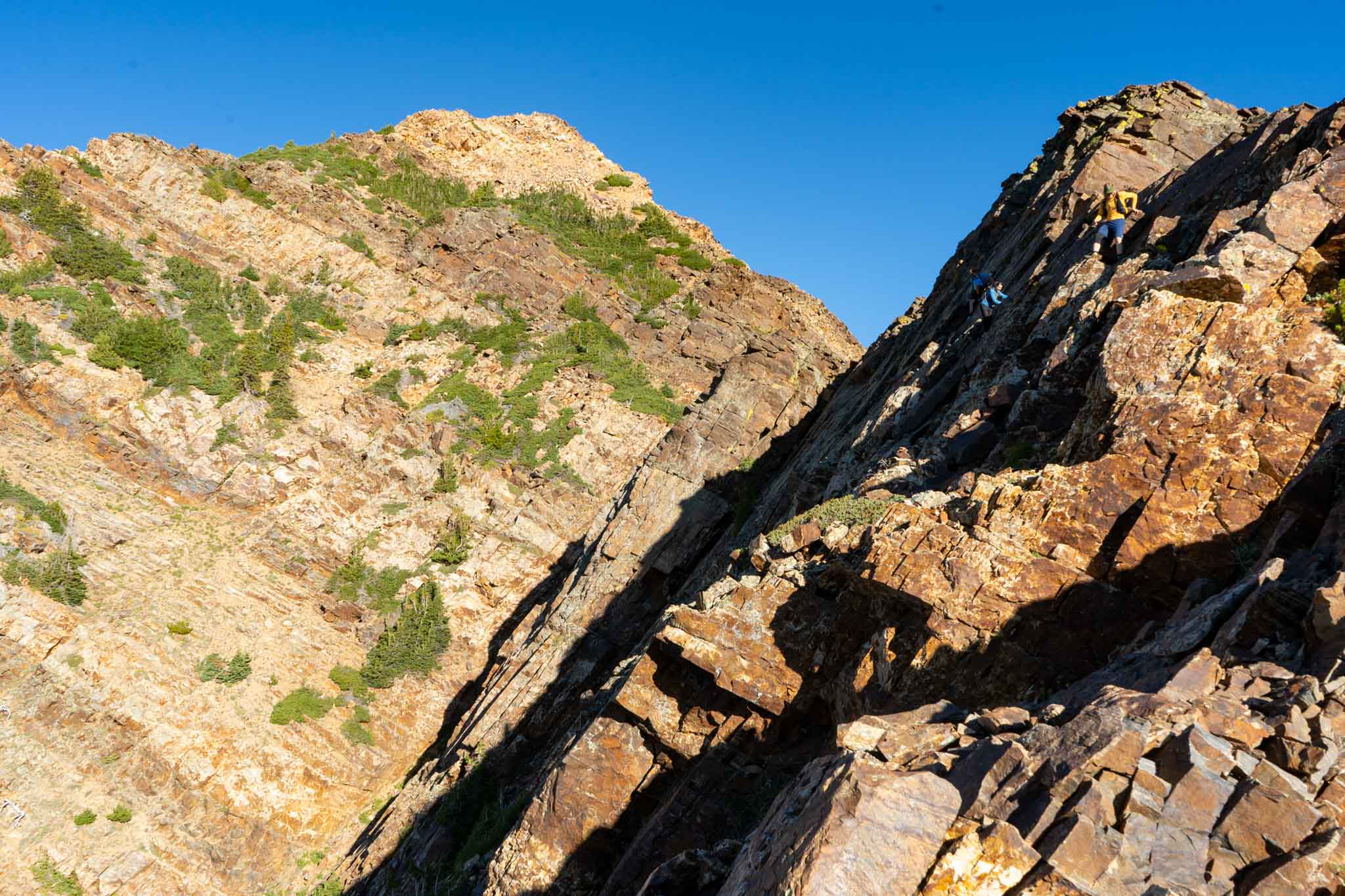
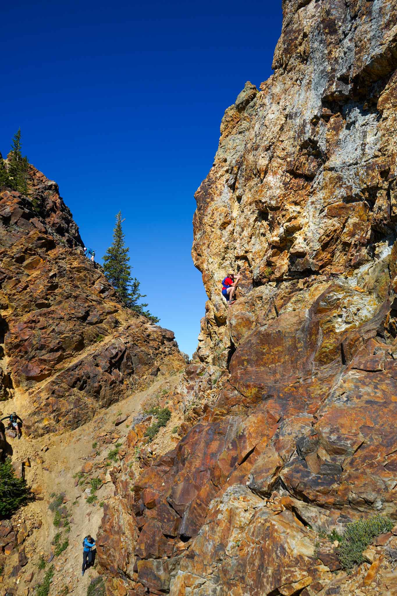
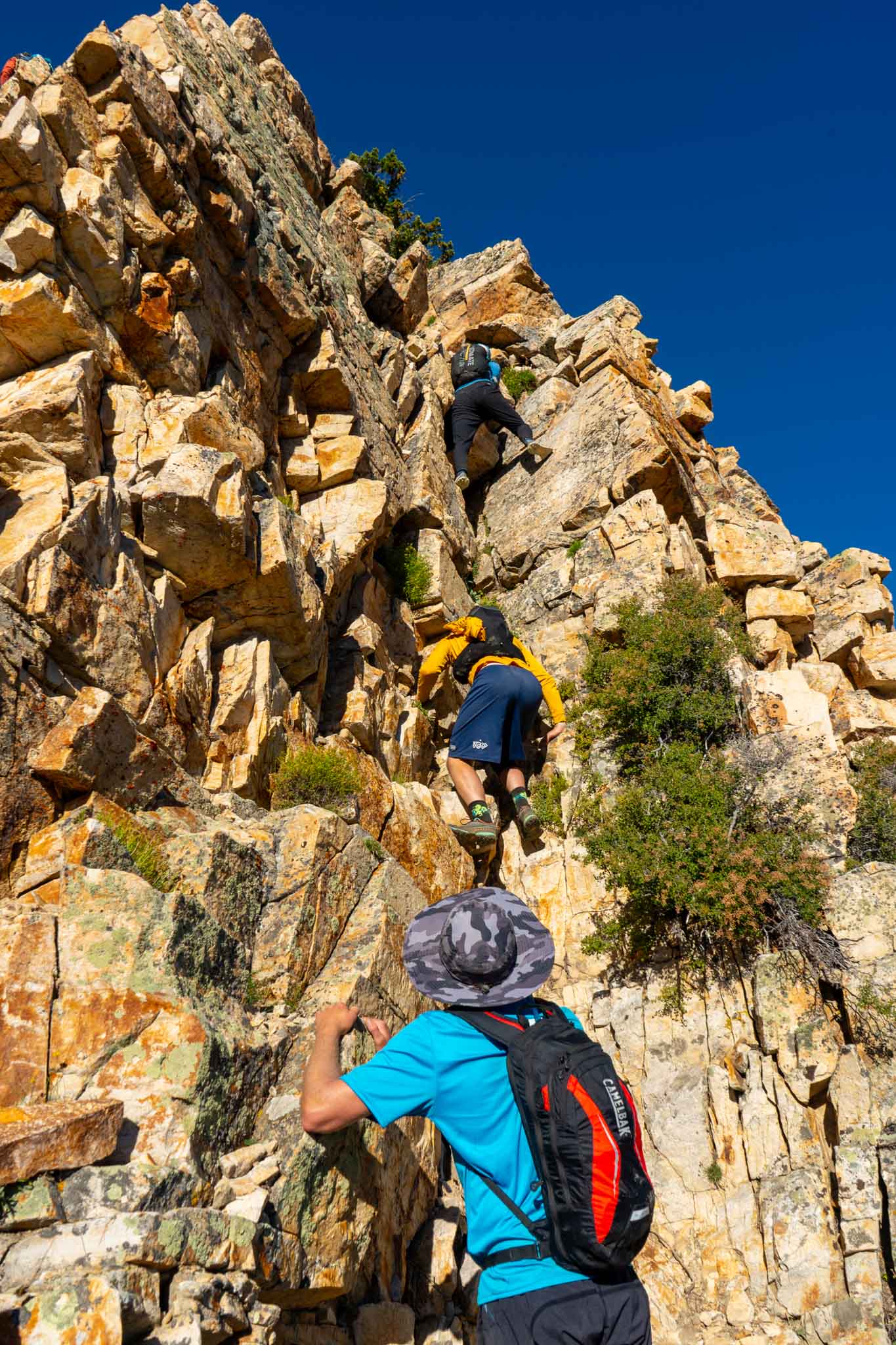
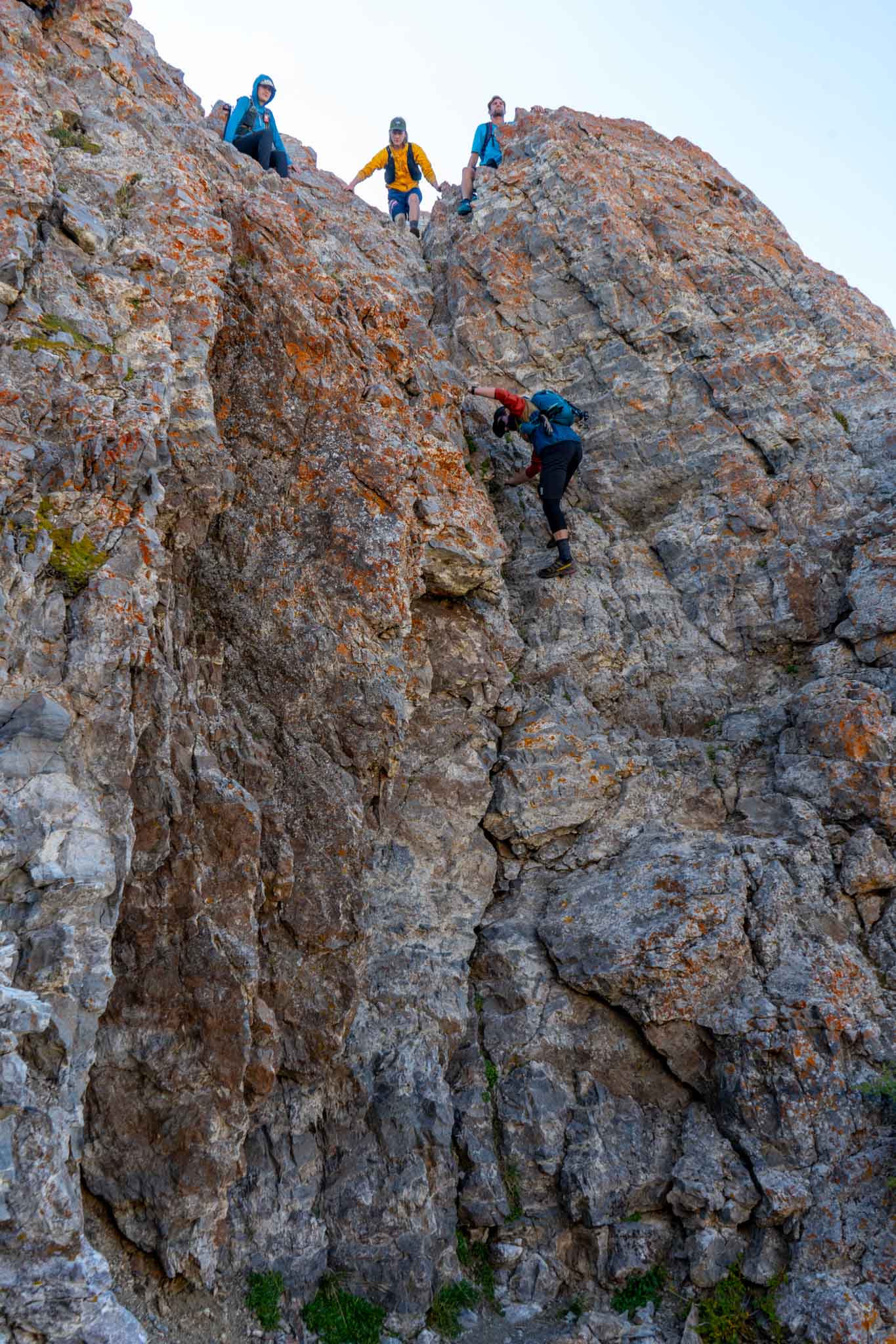
- The crux just west of Monte Cristo. These moves have lots of air below, but are very straightforward.
-

- Heading up just after Cardiff Pass
-

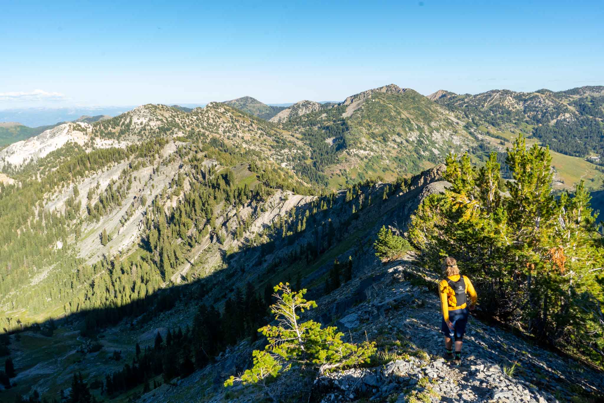
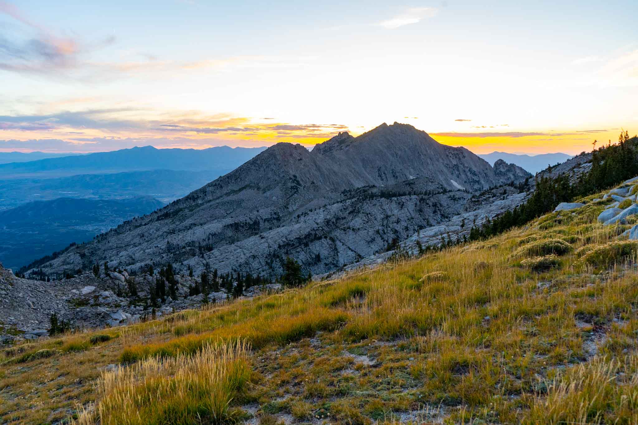
- Views heading down from Flagstaff. From here, it is very straightforward all the way until Devils Castle
-

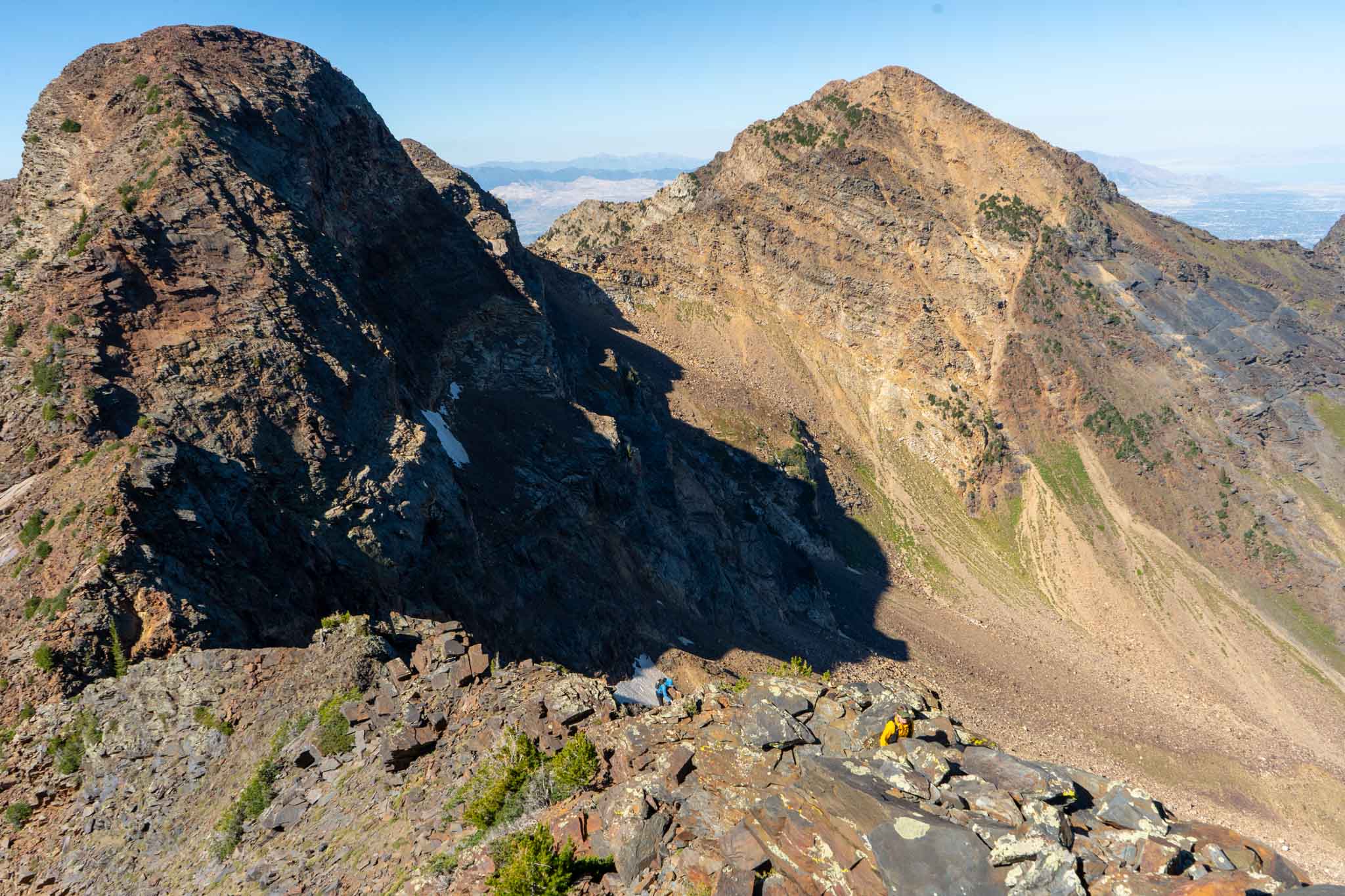
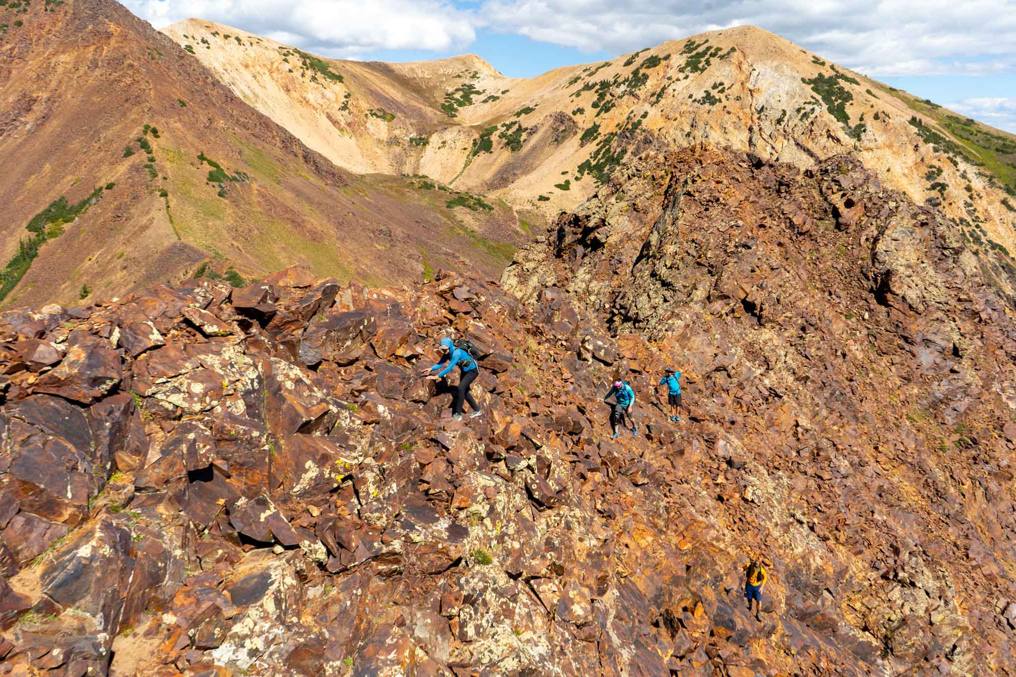
- Where the scrambling starts to get difficult heading up Devils Castle
-

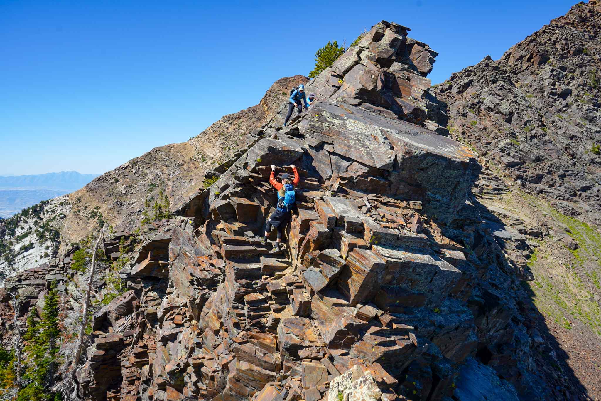
- A crux section on Devils Castle
-

- Downclimbing on Devils Castle
-

- Heading towards Sugarloaf from Devils Castle ridge
-

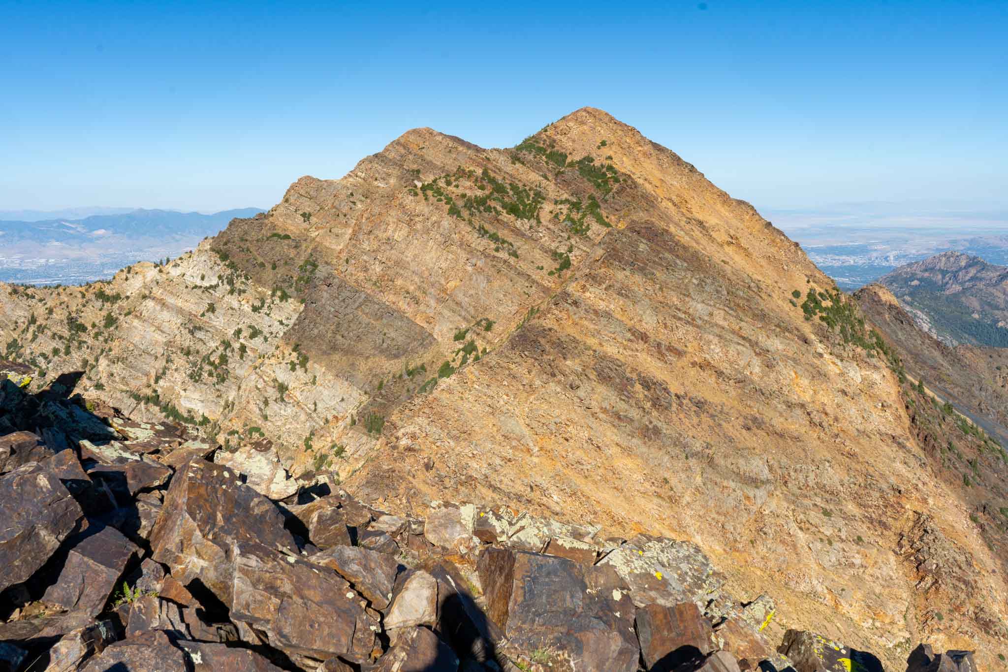
- Heading up Baldy from Sugarloaf
-

- American Fork Twin Peaks
-

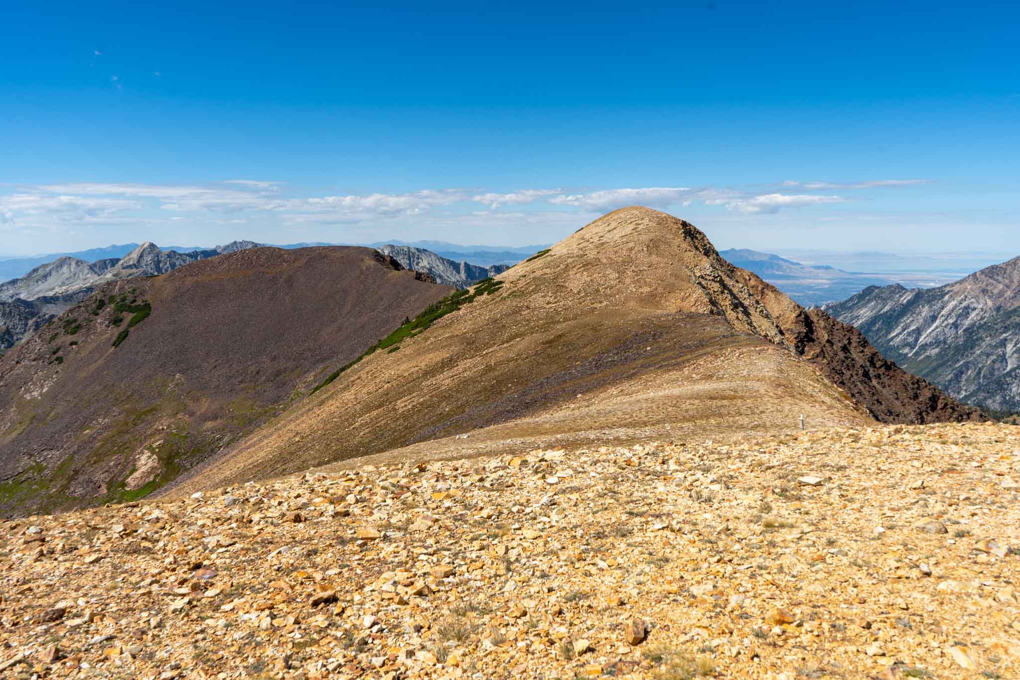
- Red Baldy Ridge
-

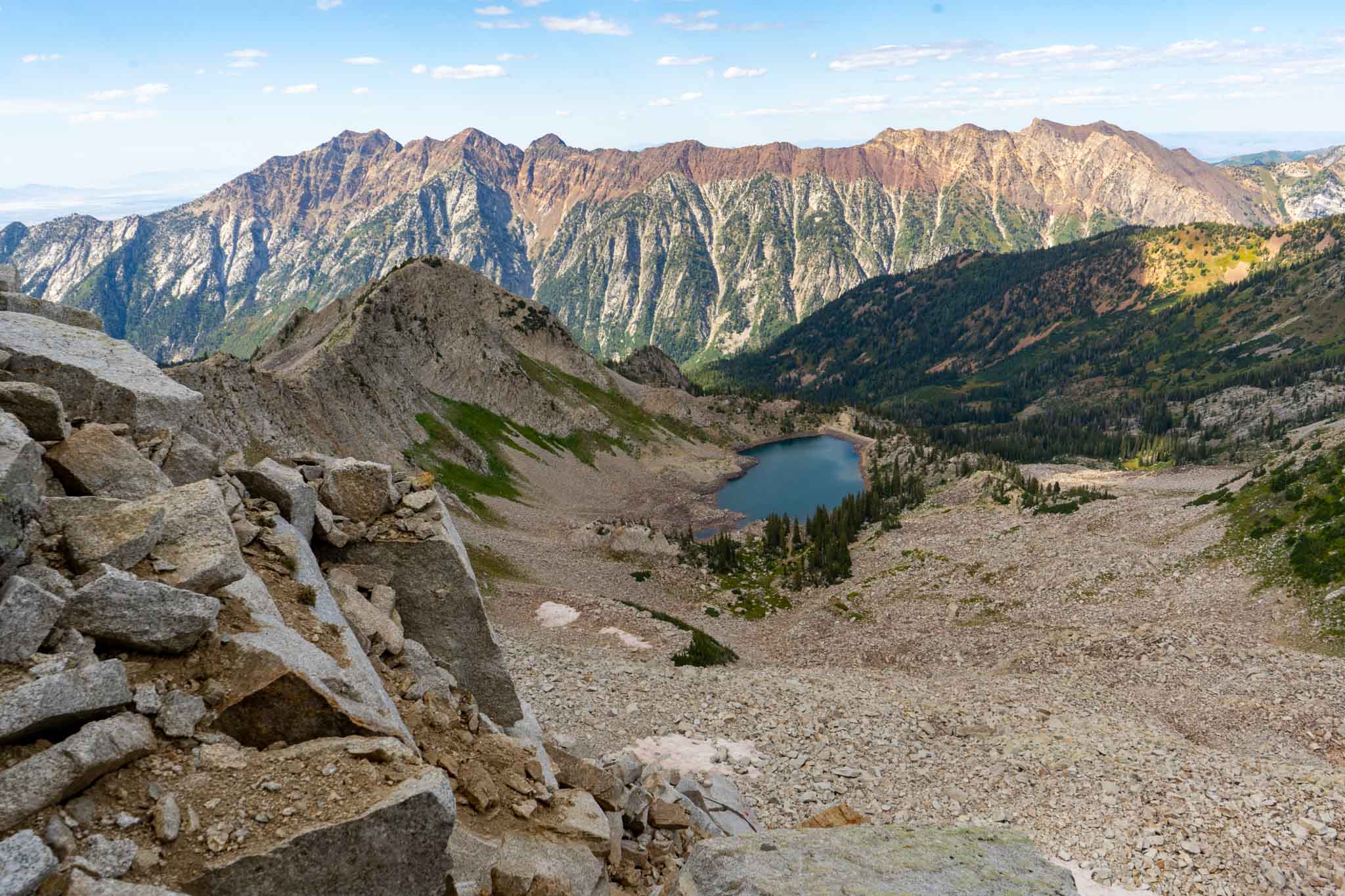
- Views of White Pine Lake
-

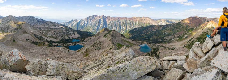
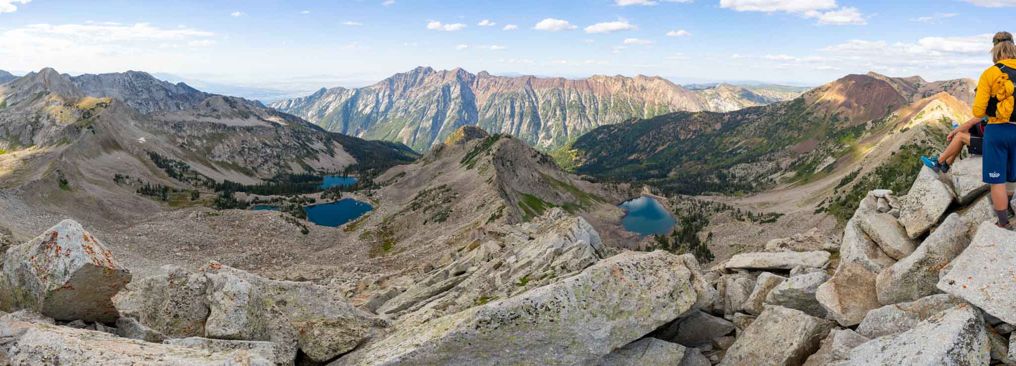
- Panorama of Red and White Pine lakes from ridge between White Baldy and Pfeifferhorn
-

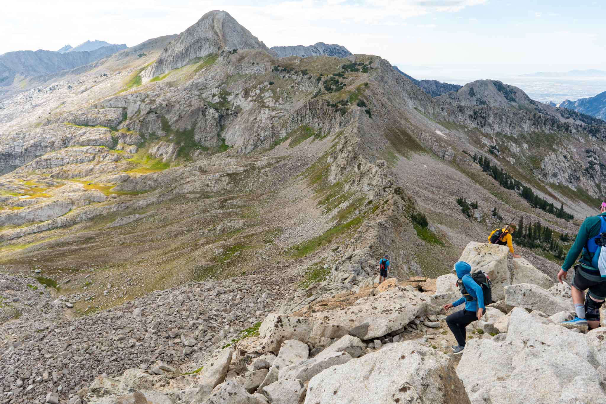
- White Baldy views of the ridge to Pfeifferhorn
-

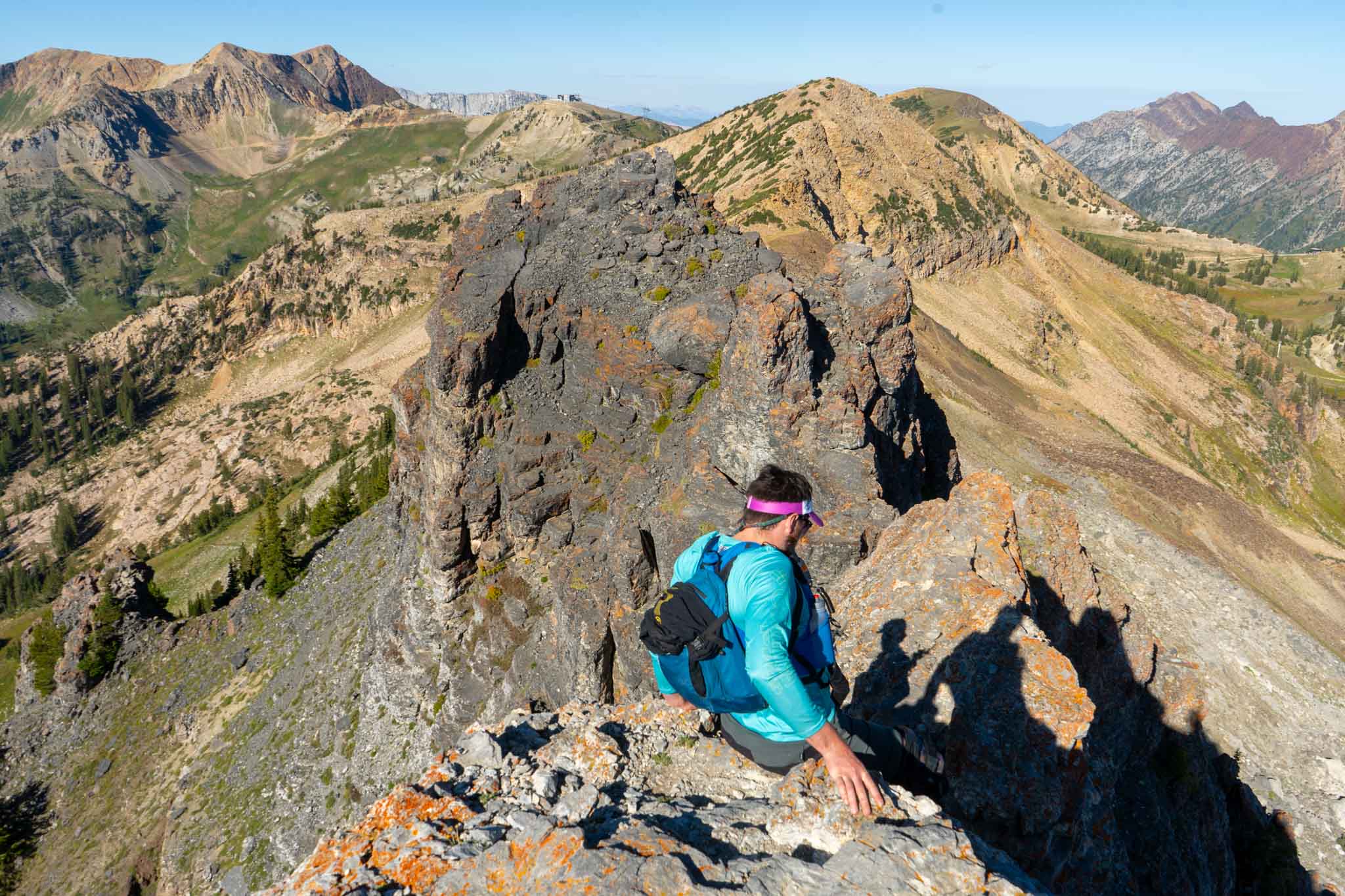
- The ridge and much of the route from Pfiefferhorn
-

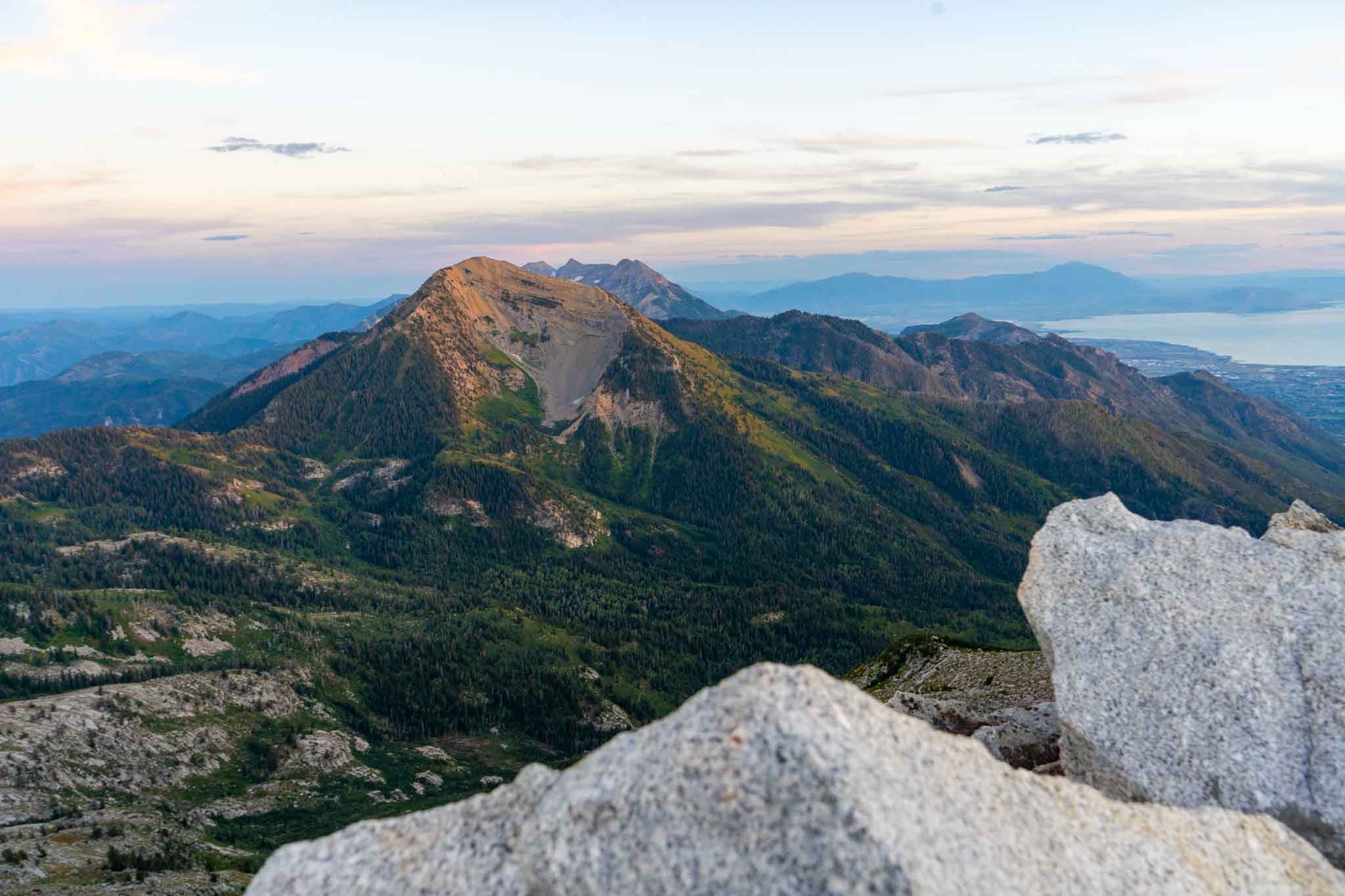
- Views of Box Elder Peak and Timp
-

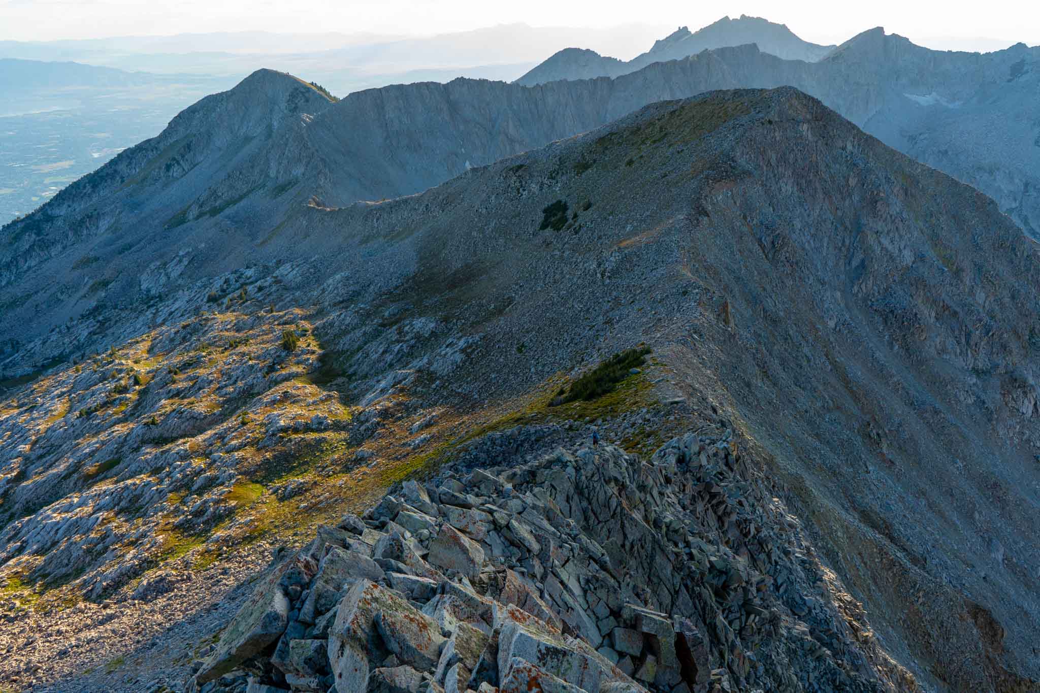
- Looking back towards Pfeifferhorn
-

- Utah Lake approaching South Thunder
-

- Views of Bighorn to Lone Peak traverse and the notch.
In preparation for the WURL, I watched a lot of videos as well. Here were my favorites:
