


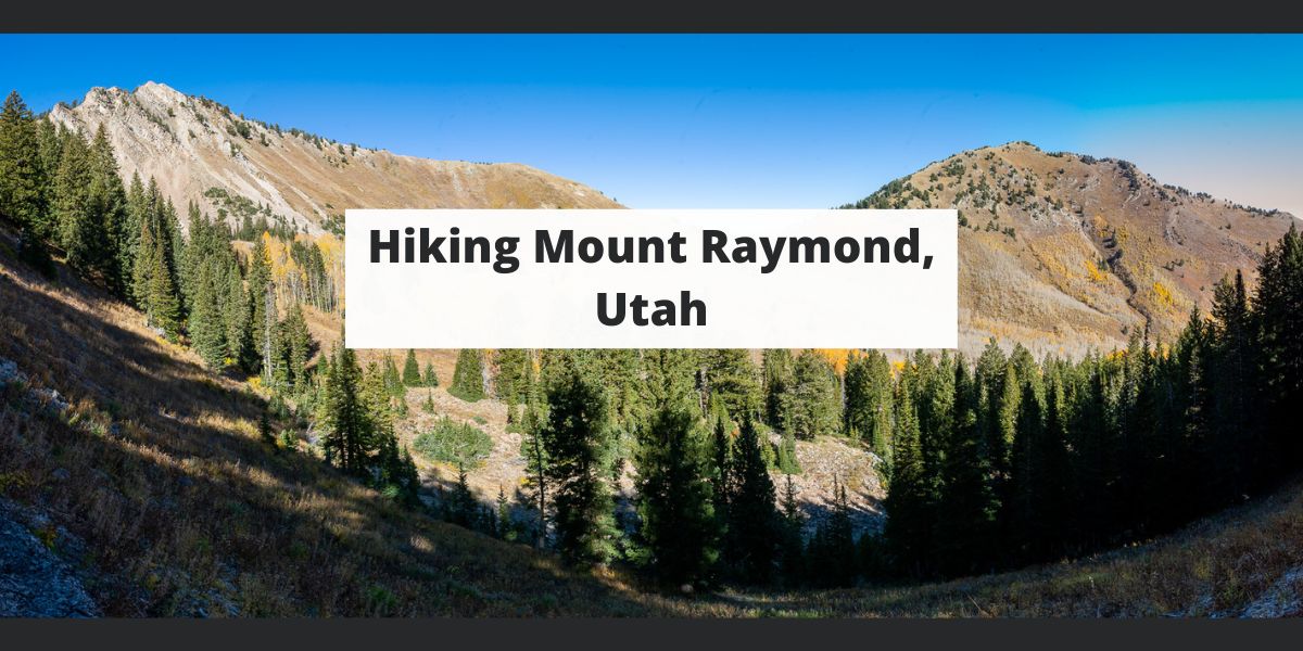
Mount Raymond in Big Cottonwood Canyon just outside Salt Lake City, Utah is a hike with incredible views, a couple routes, and some class 3 scrambling. In this article, we’ll cover everything you need to know before setting out on your Mount Raymond adventure.
Quick Navigation:
Trail Map | Trails | Hiking In Winter | Camping | Weather | Directions | Pictures
Difficulty –Strenuous
Distance – 7.8 miles round trip (8.88 km)
Height – 10,241 feet (2529.54 m)
Elevation gain – 3,100 feet (732.43 m)
Duration – 3-4 hours (book time)
Trailhead Location – Butler Fork trailhead (7,172 Feet)
Dogs – Not allowed

Mount Raymond’s Class 3 scramble:
It is worth noting that all routes to the summit require class 3 scrambling near the end of the hike to reach the summit. The scrambling features solid handholds, but it can be difficult for those that have issues with heights or drop offs. This scramble occurs only minutes before the summit of Mount Raymond. Pictures are below for reference.
Distance – 7.8 miles round trip (12.55 km)
Elevation gain – 3,200 feet (975.36 m)
Duration – 6-8 hours (book time)
Trailhead Location – Butler Fork trailhead (7,172 Feet)
This is the most common route to the summit of Mount Raymond due to the higher elevation starting point, and the fact that the trailhead is located within Big Cottonwood Canyon.
This trail is well traveled, well maintained, and well marked, making it easy or anyone to follow. Hikers follow the signs towards Mount Raymond and Gobblers Knob.
If you are interested in this route, we have created a GPX route of it here.
Distance – 9.46 miles round trip (15.22 km)
Elevation gain – 4,270 feet (1301.50 m)
Duration – 8-10 hours (book time)
Trailhead Location – Bowman Fork Trailhead
This is simply another route from Millcreek Canyon (which requires a pass, or a $5 parking fee). This is a common approach for those that want to avoid driving into Big Cottonwood Canyon. It is relatively straightforward, and increases both the mileage and elevation gain.
If you are interested in this route, we have created a GPX route of it here.
Distance – 11.9 miles round trip (19.15 km)
Elevation gain – 5,101 feet (1554.79 m)
Duration – 10-12 hours (book time)
Trailhead Location – Mill B North Fork Trailhead
This is not the recommended route to the summit due to substantial increase in length and elevation gain. That being said, this route combines some incredibly stunning scenery. We believe this is the most scenic route. It too is simple to follow as the trails are well traveled and well marked. If you want to lengthen your day and make this hike even more difficult, we highly recommend it. You’ll come across far fewer people after a couple miles in the trail.
If you are interested in this route, we have created a GPX route of it here.
This is prone to avalanche conditions in winter and should only be done by those who are aware of current avalanche conditions, and are prepared for winter hiking. This is a common backcountry skiing zone, but because of the avalanche dangers, this zone should only be done by those with experience in avalanche terrain. You can read the current avalanche forecasts on the Utah Avalanche Center website.
Backcountry camping is allowed in Big Cottonwood canyon pending you are on Forest Service property. Camping must be at least 1/2 mile off of any road, and 200 feet from any trails, water, or developed areas.
If approaching from Millcreek, you can backcountry camp. More information can be found here.
Here is a detailed weather forecast for the area:
Tonight
Snow showers likely. Mostly cloudy. Low around 7, with temperatures rising to around 12 overnight. Wind chill values as low as -5. West wind around 10 mph. Chance of precipitation is 60%. New snow accumulation of 3 to 7 inches possible.
Monday
A chance of snow showers before noon. Partly sunny, with a high near 21. Wind chill values as low as -1. West wind around 8 mph. Chance of precipitation is 40%. New snow accumulation of 1 to 3 inches possible.
Monday Night
Mostly clear. Low around 8, with temperatures rising to around 14 overnight. Wind chill values as low as -5. South southeast wind 8 to 12 mph.
Tuesday
Mostly sunny, with a high near 34. Wind chill values as low as 1. South wind 12 to 15 mph.
Tuesday Night
Mostly cloudy, with a low around 22. South southeast wind around 15 mph.
Wednesday
Snow showers likely. Mostly cloudy, with a high near 36. Chance of precipitation is 60%. New snow accumulation of less than one inch possible.
Wednesday Night
Snow showers. Cloudy, with a low around 24. Chance of precipitation is 80%. New snow accumulation of 4 to 8 inches possible.
To Big Cottonwood Canyon Trailhead at Butler Fork Trailhead
To Millcreek Canyon Trailhead at Bowman Fork Trailhead
To Big Cottonwood Canyon Trailhead at Mill B North Trailhead
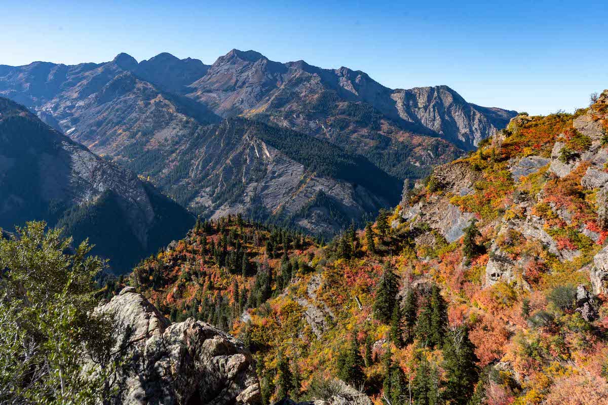
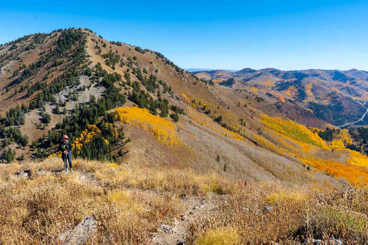
Views along the Mill B North trail
Gobbler’s Knob as seen from the summit of Mount Raymond
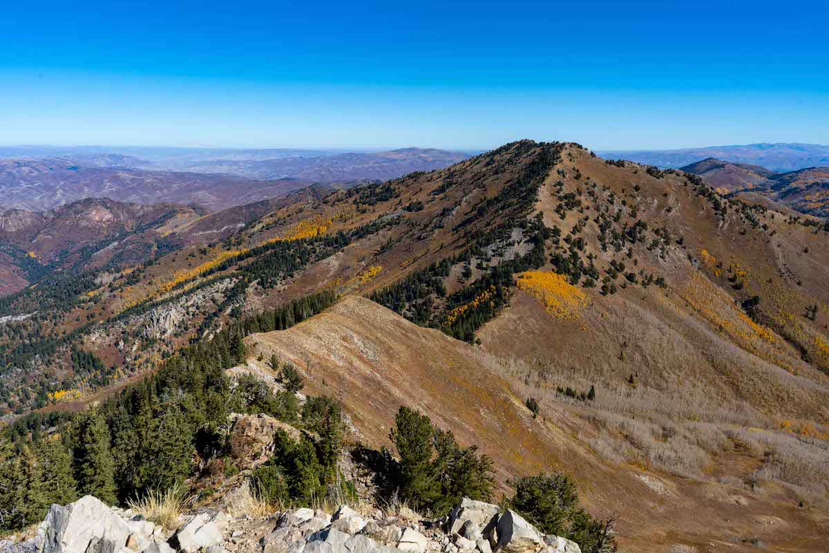
Views of Gobbler’s Knob on the ridge towards Mount Raymond
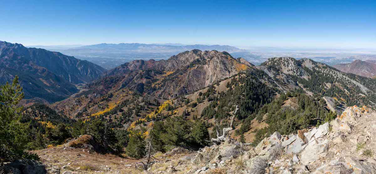
Views of Salt Lake City from Mount Raymond summit
